Phil Berke, professor of urban planning, is investigating the effects that local and regional hazard plans have on hazard vulnerability.
Profs evaluating local, regional plans’ effects on vulnerability

Phil Berke

Jennifer Horney
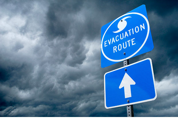
Following a devastating hurricane, tropical storm or flood, how does a community ensure it will be more resistant to damage the next time a natural disaster occurs? With more than 50 percent of the U.S. population living within 100 miles of coastal areas, this is a daily concern for millions of Americans.
The Texas A&M College of Architecture and Texas A&M Health Science Center School of Public Health are joining forces to help enhance the nation’s ability to safeguard communities living in these vulnerable areas.
Two research grants totaling $605,000 from the [Coastal Resilience Center] (http://coastalhazardscenter.org/coastal-resilience-center-july-2015/) , a U.S. Department of Homeland Security Center of Excellence, located at the University of North Carolina at Chapel Hill, have been awarded to Phil Berke, Texas A&M professor of [urban planning] (http://laup.arch.tamu.edu) , and Jennifer Horney, Texas A&M associate professor of epidemiology and biostatistics.
Berke, who also heads Texas A&M’s [Institute for Sustainable Communities] (http://www.tamug.edu/iscc/) , will lead a research project analyzing relationships between networks of plans and neighborhood hazard vulnerability.
“Unprecedented urbanization in hazard-prone coastal regions and rapid climate change present a tremendous challenge for disaster resiliency,” Berke said. “The most promising long-term solution to reduce growing vulnerability is by both affecting the location and design of future urban development and helping create a knowledgeable constituency who support reduction of vulnerability.”
While local governments are committing extensive resources to hazard mitigation planning, land use planning and climate action planning, little is known about the range of planning policies being adopted, the effects of these policies on hazard vulnerability of diverse neighborhoods within local jurisdictions, and the influence of the public and local government agency capacity to bring about integrated planning efforts.
As part of this project, public health plans will be collected and analyzed and appropriate indicators and metrics developed from these plans.
Horney’s project will transition a web-based [Disaster Recovery Tracking Tool] (http://www.communityrecoverytool.org) , which she helped develop following Hurricane Sandy, into a more widely adopted tool to track the progress and quality of postdisaster recovery across various types of disasters and over time. Data from the tool can be utilized by communities to develop better predisaster recovery plans, increasing resilience to future disasters.
The previously developed Disaster Recovery Tracking Tool provides 79 metrics, organized within 10 focus areas for tracking progress towards recovery. It also provides comparison between pre- and postdisaster status using baseline and current data. Reports generated by the tool provide planners, emergency managers, and long-term recovery committees with a way of prioritizing recovery goals and activities, making recovery more effective and efficient and communities more resilient.
“Our goal now is to refine the metrics and disseminate a highly useful web-based tool to federal, state, and local practice partners. The tool will be most valuable to end users if we can allow them to focus on which indicators are the strongest, most valid, and most useful predictors of recovery, and support them with training, technical assistance, and user guides,” Horney said.
Both 2-year projects aim to further develop systematic ways of measuring the disaster recovery process across events and over time to improve planning for, and recovering from, disasters.
Tags
- climate
- coastal systems
- feature
- hazards
- hrrc
- institute for sustainable communities
- landscape architecture & urban planning
- laup banner
- research
- research gallery
- texas target communities
- ttc
- urban systems
Related Posts


Planning prof presents hazard mitigation ideas

Texas A&M research transforming urban school, community

Profs publish book with steps to raise community resilience

Planning prof helps write paper urging coastal policy change
Follow Us
Facebook Twitter Vimeo Youtube Flickr RSS
Recent Posts


Planning prof heads study of disaster housing aid

A message from the dean


_thumbnail_small.png)

Former student remembered as expert planner


Leading educator named new head of Architecture Dept.
